
GEKOM Ltd. · since 2007

Numerical modelling, environmental and climate services

GEKOM is a specialised company for numerical modelling of natural processes, environmental and climate analyses, and the development of forecasting systems.

20

years of industry experience

200+

successfully completed projects

€8M+

more than €8 million in projects

About us

Modelling natural systems since 2007

GEKOM Ltd. is a specialised company founded in 2007, with long-standing experience in numerical modelling, geophysical research, and environmental and climate analyses.

Our work is based on an understanding of physical processes, the application of advanced numerical models, the processing and interpretation of measured and spatial data, and the development of methods for analysing complex natural systems.

We have particular experience in modelling atmospheric, oceanographic and hydrological processes, developing and maintaining operational forecasting systems, climate analyses, and assessments of environmental and climate impacts and risks.

Alongside specialist services for the public and private sectors, we take an active part in national and international research projects. Together with scientific institutions and other partners, we develop and apply modelling solutions, machine learning methods and advanced approaches to environmental data analysis.

Our experience covers projects in Croatia and abroad, from operational meteorological and oceanographic forecasts and environmental analyses of infrastructure projects to climate assessments, adaptation strategies and greenhouse gas emission inventories.

Our approach

We approach every project from the specific characteristics of the area, the available data and the client's needs. We combine numerical modelling, data analysis and expert interpretation of results to provide reliable, practical input for decision-making.

Services

Areas of expertise

We combine physical modelling, spatial analysis and advanced data processing methods to provide expert input for research, planning, design and decision-making.

Geophysical modelling and forecasting systems

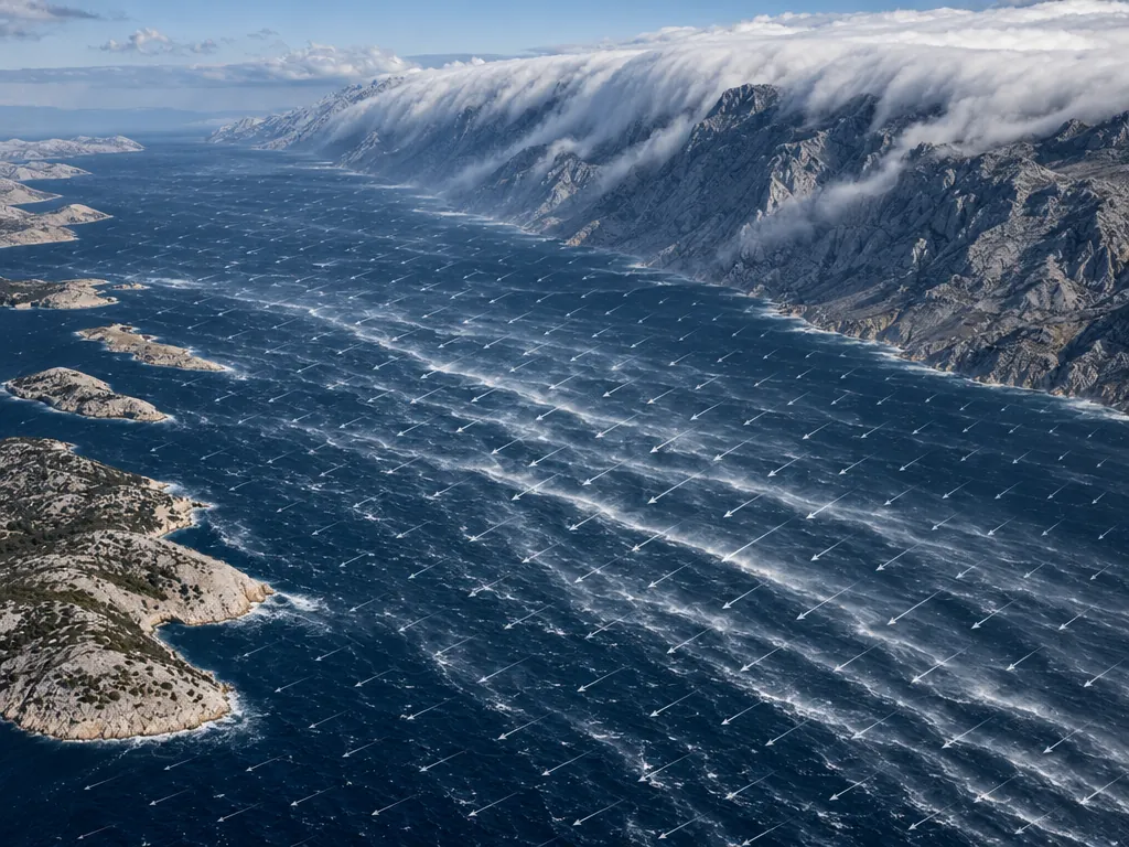
We use numerical modelling of atmospheric, oceanographic and hydrological processes to analyse and forecast the state of natural systems. We develop and maintain operational meteorological, oceanographic and wave forecasting systems.

Climate analysis and modelling

We analyse climate data and climate model output, develop spatial downscaling methods, including machine learning, and study climate change, trends and extremes.

Climate risk and climate change adaptation

We assess climate hazards, exposure, vulnerability and risk, and prepare expert input for adaptation planning and the climate proofing of investment projects.

Greenhouse gas emissions and emissions management

We prepare organisational emission inventories according to the GHG Protocol and ISO 14064-1, and develop methodologies and tools for calculating, consolidating and analysing emissions data.

Environmental modelling and specialist studies

We carry out specialist modelling analyses and prepare expert input for assessing the environmental impacts of industrial, transport, maritime, municipal and other projects.

Research and development

We take part in national and international research projects, develop modelling and data solutions, and apply advanced analysis and machine learning methods.

Research and development

From research to practical solutions

We take part in national and international research and development projects, and develop and improve numerical models, operational forecasting systems, machine learning methods and analytical tools in geophysics, the environment and climate change.

Research and development is an integral part of GEKOM's work. Together with scientific institutions and expert partners, we develop and adapt models and methods, combine observations with model results, and turn research results into practical data products, forecasting systems and expert tools.

  • Development and improvement of numerical models and model chains
  • Machine learning models and advanced processing of geophysical and climate data
  • Integration of field, satellite and model data
  • Operational systems and interactive presentation of results
  • International research consortia and applied research
Ongoing

DANSER – Danube Sediment Restoration

GEKOM is a partner in the DANSER project, funded by the European Union under the Horizon Europe programme.

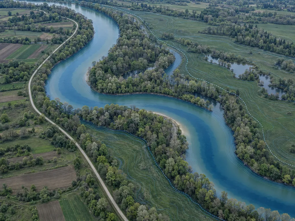
In the project we lead work package WP6, which brings together the results of the research so far and prepares policy recommendations. We also model the hydrodynamics of the demonstration site on the middle Danube before and after the restoration measures, carry out spatial downscaling of climate data, and use machine learning to estimate hydrodynamic variables.

danserproject.eu


Projects

Projects and references

Ongoing

Risk management and improvement of salt production at the Pag saltworks (UUPSS-PAG)

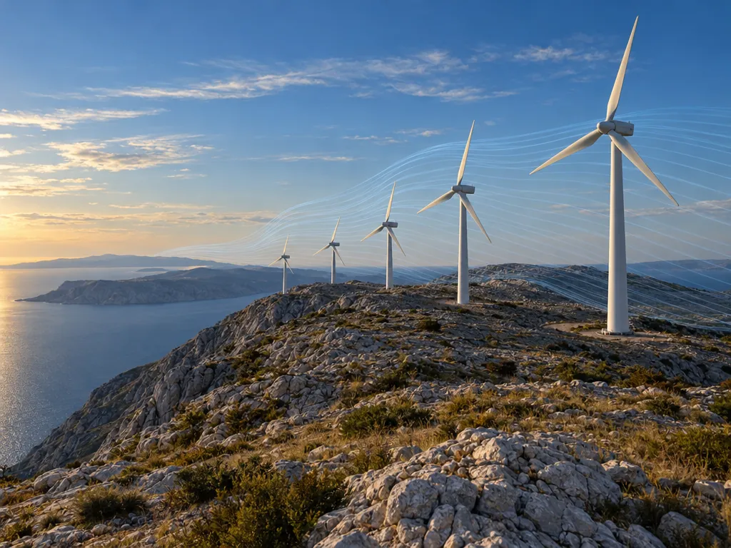
In a consortium with Solana Pag, the Faculty of Science (PMF) and the Ruđer Bošković Institute, GEKOM is developing a high-precision local forecasting system for the saltworks: the WRF model at about 1 km resolution, local weather stations, satellite monitoring (Sentinel-2) and machine learning. The system gives timely warnings of rain and unfavourable conditions and helps plan the salt harvest.

solana-pag.hr

Image: contains modified Copernicus Sentinel data (2026)

Ongoing

TreatSupport – environmental conditions in fish farming

An international research project in aquaculture. GEKOM prepares data on the state of the sea and atmosphere from numerical oceanographic and meteorological models for about 5,000 locations along the coast of Norway.

Daily short-range weather forecasts for Jadrolinija

The project delivers short-range weather forecasts (48 hours ahead) for Jadrolinija's high-speed passenger vessels, covering the whole Adriatic and, separately, the northern, central and southern Adriatic.

CAAT project: self-purification capacity of coastal waters

Application of 3D hydrodynamic models for the CAAT project

The project “CAAT (Coastal Autopurification Assessment Technology) – Development of technology for assessing the self-purification capacity of coastal waters” applied fundamental scientific research in oceanographic and atmospheric modelling and in the physical processes of flow and pollutant transport in water resources to develop innovative solutions for forecasting the impact of pollution on coastal waters.

The project was co-financed by the European Union with grants from the European Structural and Investment Funds in the 2014–2020 financial period.

caat.gradst.hr

Hydrodynamic simulation of the Plitvice Lakes

Numerical simulations with meteorological and hydrological models, including model set-up, calibration and validation. The research, led by the Department of Geophysics of the Faculty of Science in Zagreb, focuses on a system of 16 interconnected lakes in a forested karst setting.

Meteorological and oceanographic forecasting services

Daily numerical meteorological and oceanographic data support the Ministry in the effective management of search and rescue operations and the prevention of marine pollution.

oVERFLOw project – vulnerability assessment of levees and bridges

The oVERFLOw project uses advanced technologies to assess the vulnerability of flood-exposed levees and bridges, aiming for more accurate risk assessment that takes climate change into account. It includes geophysical surveys and model calibration to reduce uncertainty in risk assessment.

projectoverflow.eu

Mosquito monitoring and control project in Osijek

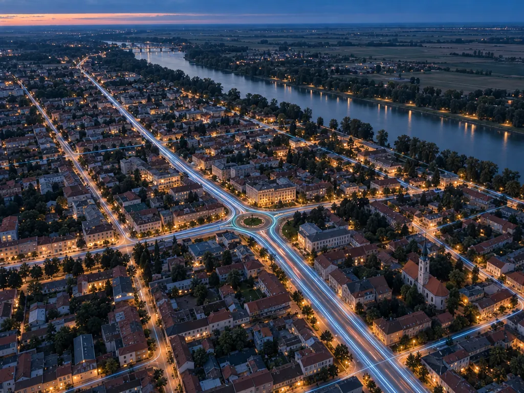
The project included biological monitoring, the development of forecasting models and the optimisation of control measures, combining mathematical algorithms, mapping, numerical models and empirical flood predictions to create a more effective mosquito control system.

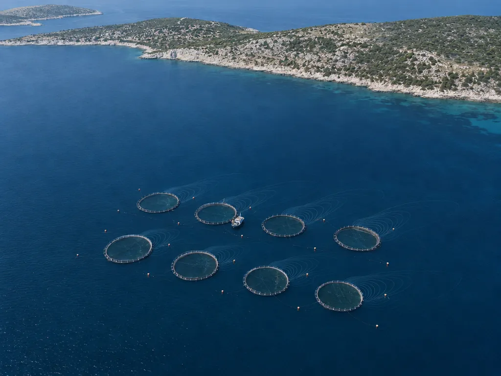
Capacity expansion of a white fish farm off Dugi Otok

Zelena infrastruktura Ltd. and GEKOM Ltd. carried out an environmental study for the expansion of a white fish farm off Dugi Otok. The study includes a biocoenotic survey focusing on marine habitats and protected species. Farming options, cage emissions, effects on the seabed and oxygen levels were analysed to assess the environmental impact of the planned expansion.

Data preparation for the MUKLIMO model in the CroClimGoGreen project

Preparation of input data for MUKLIMO, an urban climate model, for the CroClimGoGreen project, which focuses on local green solutions and the study of climate impacts in Croatia.

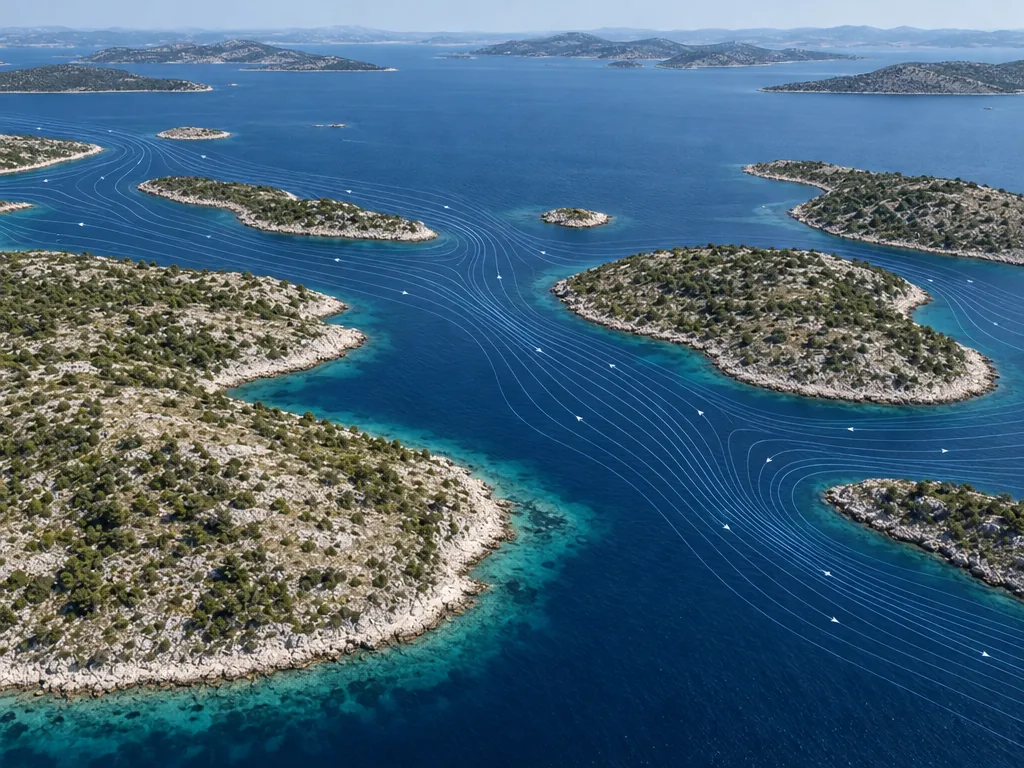
Hydrodynamic modelling and mapping for mariculture in Šibenik-Knin County

Development of a hydrodynamic model of sea currents and thermohaline properties, with thematic maps for the sustainable management of the mariculture sector in Šibenik-Knin County.

Contact

Let's talk about your project

Address

Borongajska cesta 81c
10000 Zagreb, Croatia

Send an enquiry